
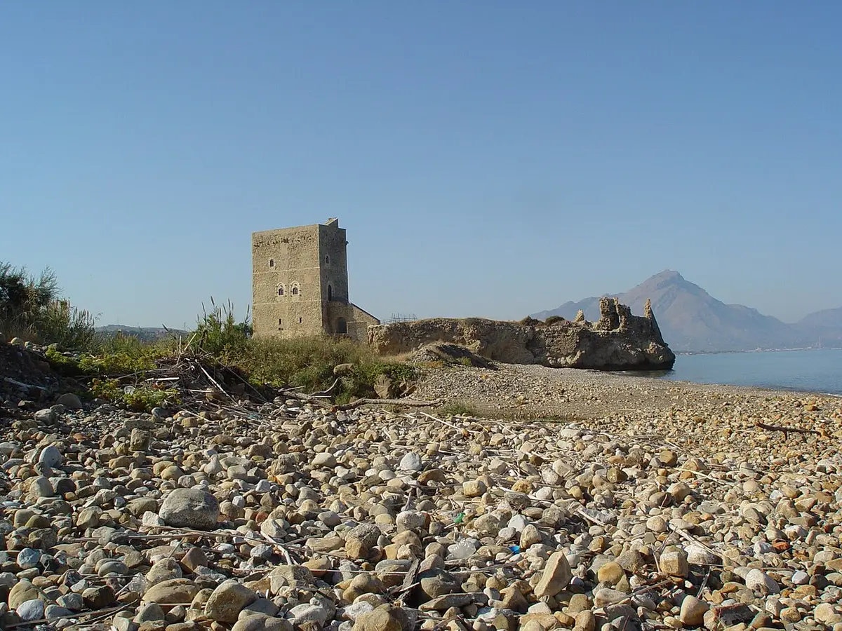
About Campofelice di Roccella Beach
Campofelice di Roccella lies on the coast between Termini Imerese and Cefalù, and its beach is one of the longest on this stretch. It runs from the mouth of the Imera river in the west towards Lascari in the east, backed by a seafront road.
The beach is wide and mostly sand, mixed with pebbles in places. The seabed is sandy, with some pebbly patches, and shallow near the shore, which makes it comfortable for children.
Lidos rent sunbeds and umbrellas and have showers, changing cabins, bars and restaurants, while the public stretches along the seafront are free. Because the beach is so long it rarely feels as cramped as the beaches near Palermo, even in summer.
How to get to Campofelice di Roccella Beach
The SS113 coast road runs past the town; from the motorway, the nearest exits are Buonfornello, where the A20 begins, and Cefalù. From the SS113 follow signs for the sea and the lidos. There is parking along the seafront.
Cefalù is a short drive east, so the beach works well as a quieter alternative to Cefalù's town beach.
Level access from the long seafront road, with parking along it.
By car, Campofelice di Roccella Beach is about 1 hour 14 minutes from Palermo Falcone Borsellino airport and 2 hours 6 minutes from Catania Fontanarossa airport.
Tips for visiting Campofelice di Roccella Beach
- With so much sand, walking a few minutes from the busiest lidos usually finds space.
- Arrive early on August weekends, when the seafront parking fills.
- Bring shade for the free stretches; there are few trees.
- A good base if Cefalù's beach is too crowded.
What is there
- Lidos with sunbeds and umbrellas to rent, with a free public stretch.
Water quality at Campofelice di Roccella Beach
The nearest official monitoring point, Anti Casello Ferroviario Km. 51, was rated good for bathing in the 2025 season under the EU Bathing Water Directive, as it has been in each of the last 4 seasons.
- 2025Good
- 2024Good
- 2023Good
- 2022Good
- 2021Excellent
- 2020Excellent
- 2019Excellent
- 2018Excellent
Ratings run from excellent through good and sufficient to poor, and are set from four seasons of samples taken through each bathing season by the Italian health authorities and reported to the European Environment Agency.
Facts about Campofelice di Roccella Beach
- The beach runs for several kilometres, from the Imera river towards Lascari.
- The seabed is sandy and shallow close to the shore.
- Free public stretches alternate with lidos along the seafront.
Campofelice di Roccella: the town
Campofelice di Roccella is a seaside town of about 7,800 people on the north coast between Termini Imerese and Cefalù, founded in 1699 on a low hill above the medieval Roccella castle, and today a busy summer resort with a long beach. Read our guide to living in Campofelice di Roccella: house prices, the weather month by month, the nearest hospital and airports, history and food.
Beaches near Campofelice di Roccella Beach
- Salinelle Beach Lascari, 7 km, sand and pebbles
- Capo Playa Beach Cefalù, 8 km, sand and pebbles
- Settefrati Beach Cefalù, 10 km, sand and pebbles
- Mazzaforno Beach Cefalù, 11 km, sand and pebbles
- Cefalù Beach Cefalù, 14 km, fine sand
- Caldura Beach Cefalù, 16 km, pebbles
- Sant'Ambrogio Beach Cefalù, 19 km, sand and pebbles
- Torre Conca Beach Pollina, 25 km, sand and pebbles
Frequently asked questions
Is Campofelice di Roccella beach sandy?
Mostly. It is a long, wide beach of sand, mixed with pebbles in places, and the seabed is sandy and shallow near the shore. It is one of the easier beaches for families on the coast west of Cefalù.
Is there a free beach at Campofelice di Roccella?
Yes. The beach is split between lidos with sunbeds and free public stretches along the seafront. The free parts have no facilities, but they are long enough that you can usually find a spot.
How far is Campofelice di Roccella from Cefalù?
It lies a short drive west of Cefalù along the SS113 coast road. Many people staying in Cefalù use it on days when the town beach is packed.
Is the water clean at Campofelice di Roccella Beach?
The nearest official monitoring point, Anti Casello Ferroviario Km. 51, was rated good for bathing in the 2025 season under the EU Bathing Water Directive, as it has been in each of the last 4 seasons. Ratings are based on samples taken through the bathing season and checked for bacteria from sewage. After heavy rain, water near river mouths can be cloudy for a day or two.
Featured in
Credits
Photo: Macel Brilman (MacBr…, CC BY-SA 3.0, via Wikimedia Commons.
Written from 3 or more independent sources and checked. Figures: bathing water quality from the European Environment Agency (EU Bathing Water Directive), drive times and facilities from © OpenStreetMap contributors, map boundaries ISTAT via openpolis (CC BY 4.0).
Before you go: the latest sampling results and any bathing bans are on the Ministry of Health's Portale Acque, and local notices on the comune of Campofelice di Roccella's website.
 The weekly YouTube series